GMS in the News


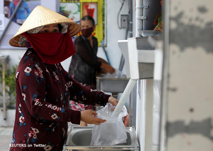
A 24/7 automatic dispensing machine provides free rice for people out of work following the lockdown. This was spearheaded by a Vietnamese entrepreneur in Ho Chi Minh City. Photo by Reuters on Twitter.

Initiative Gathers Mekong Innovations Spurred by the COVID-19 Pandemic

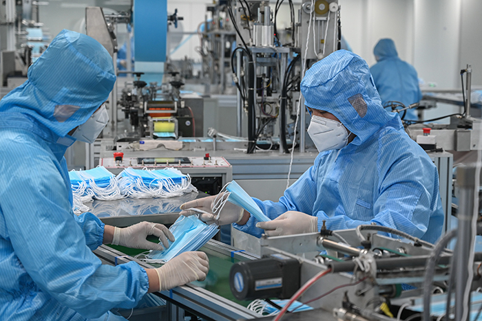
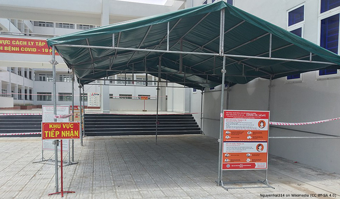
An initiative by the Mekong Tourism Coordinating Office (MTCO), Destination Mekong, and the Mekong Institute (MI) taps individuals' help in crowdsourcing newly-spotted innovations on how the coronavirus disease (COVID-19) is being managed and/or overcome in the Greater Mekong Subregion (GMS).


Officials view trolley robots donated by the Ministry of Education while smaller photo shows a drone with a loud speaker. Photo: Eleven Myanmar

Myanmar Universities Invent Robots that Reduce Contact between Health Workers and COVID-19 Patients

Robots are helping keep medical workers in Myanmar safer and lowering the risk of further spreading the coronavirus disease (COVID-19) by reducing contact with COVID-19 and COVID-19-suspected patients.  


How Viet Nam's “Low-Cost Model” Stopped COVID-19 in its Tracks

Limited resources did not stop Viet Nam from implementing a quick and effective response against the coronavirus disease (COVID-19). As countries all over the world work to overcome the novel coronavirus outbreak, Viet Nam, a country with a population of 95 million, boasts a remarkably low infection rate of only 271 total confirmed cases and no deaths, according to the World Health Organization situational report (as of 5 May 2020). 


WebGIS Map Monitoring Mekong Delta’s River Banks and Coastline

Viet Nam’s Ministry of Agriculture and Rural Development introduced a WebGIS (geographic information systems) map to monitor the Mekong Delta’s river banks and coastline in June 2018. The WebGIS map has currently received updated data from 13 provinces in the Mekong Delta. 

The tool aims to help provide information about landslides, including length, depth, influences on the environment, and impact on residents. It can help deliver warnings and disseminate information in advance. It uses map-based data, and can include pictures and videos.  


Pages